St Cwyfan
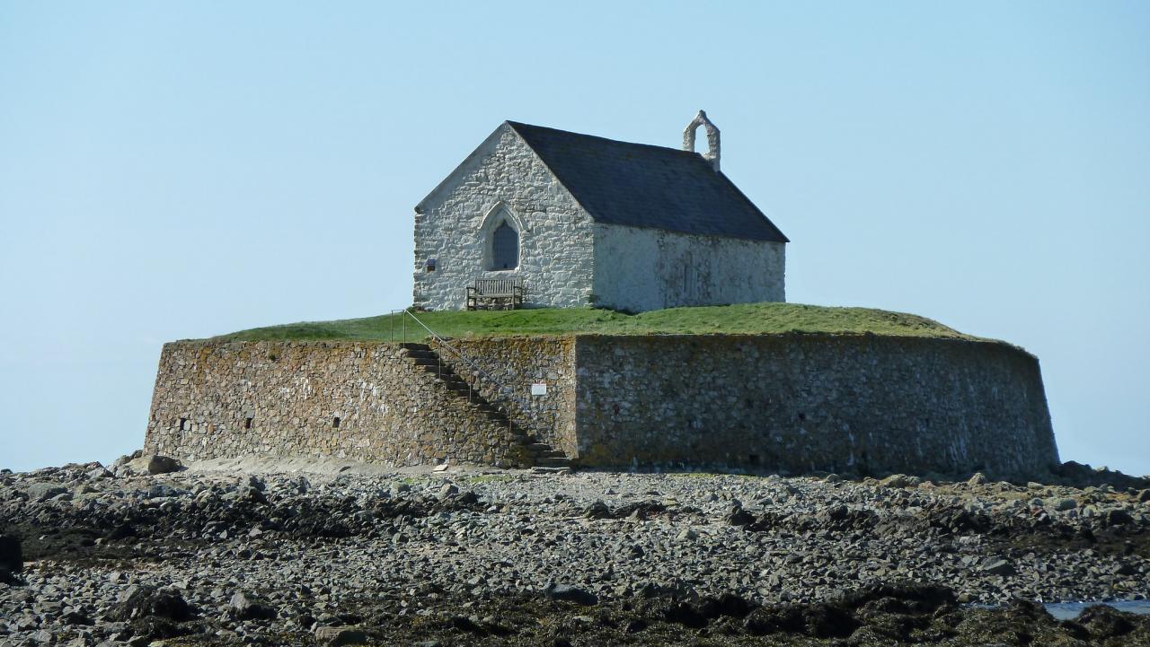
It may seem an odd and perilous place to build a church, but St Cwyfan's originally stood at the end of a peninsula between two bays, Porth Cwyfan and Porth China, as shown on John Speed's map of Anglesey from 1636. In the decades after this the sea slowly eroded the coast in the two bays enough that the peninsula was cut off, turning it into an island.
About this building
For more information visit on this building visit www.explorechurches.org/church/st-cwyfan-llangwyfan


